
 EN
EN
 ar
ar bg
bg hr
hr cs
cs da
da nl
nl fi
fi fr
fr de
de el
el hi
hi it
it ko
ko no
no pl
pl pt
pt ro
ro ru
ru es
es sv
sv tl
tl iw
iw id
id lv
lv lt
lt sr
sr sk
sk sl
sl uk
uk vi
vi et
et hu
hu th
th tr
tr fa
fa ms
ms hy
hy ka
ka ur
ur bn
bn mn
mn ta
ta kk
kk uz
uz ku
ku
water level gauge
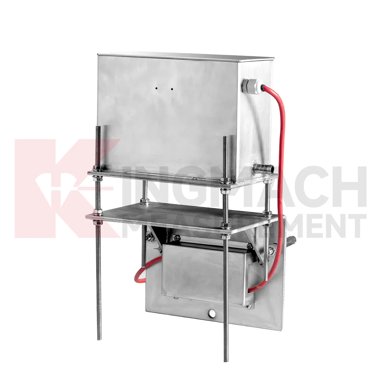
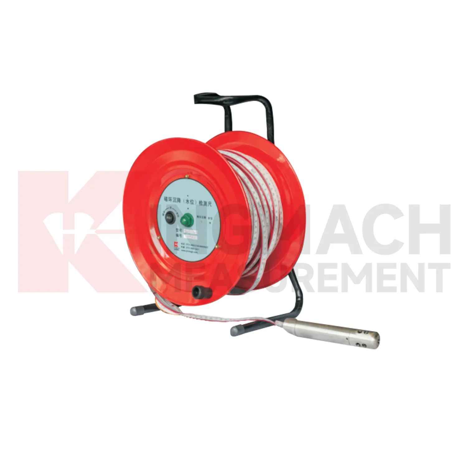
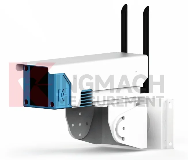
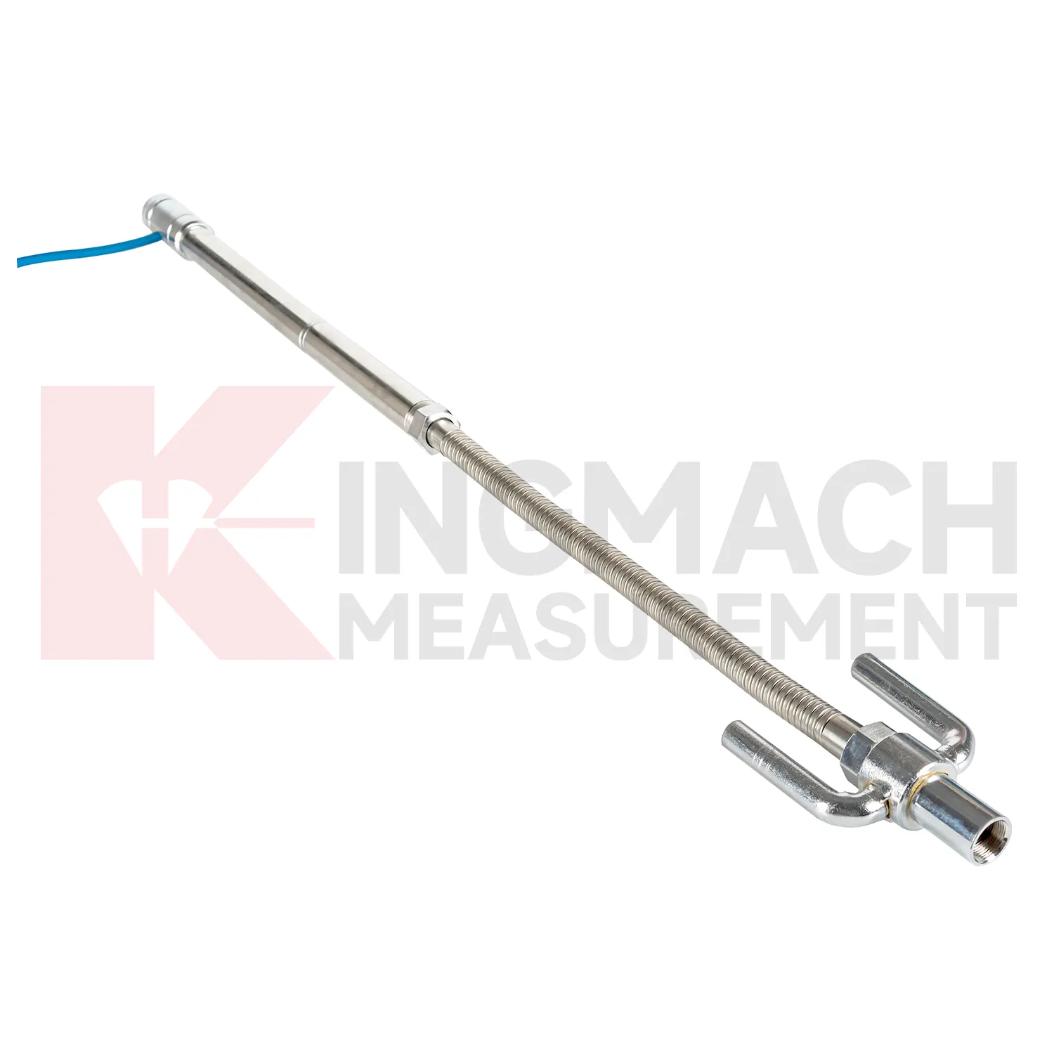
Kingmach water level gauge cover several ways to measure vertical deformation on civil and geotechnical projects. The category includes the JMDL-47XXAT smart single-point settlement gauge, JMDL-62XXADT inductive frequency-modulated hydrostatic level sensor, JMQJ-62XXADT micro range hydrostatic level sensor, JMYC-62XXAD wide-range differential pressure hydrostatic level sensor, and JMCJ-1003/1005 magnetic ring settlement water level gauge. Each product answers a different field question. A buried single-point gauge follows one embedded location in a roadbed, foundation, dyke, or tunnel invert. A hydrostatic network compares several elevations through connected liquid lines. A wide-range differential pressure system handles larger movement during reclamation or soft foundation treatment. A magnetic ring gauge separates layered underground compression from groundwater level change. Selection should begin with expected travel, required resolution, manual or automatic reading mode, access after burial, reference stability, and the structure being observed. This product group gives engineers a practical set of instruments for turning slow ground movement into named measuring points, dated baselines, and repeatable readings.
Application of water level gauge
Tunnels and subway structures place special demands on water level gauge because access is narrow, moisture is common, vibration is continuous, and many instruments may share the same station or section. Kingmach JMDL-47XXAT is described for tunnel bottom uplift deformation and underground engineering settlement, making it suitable for embedded positions where the invert or base layer must be followed after construction. JMQJ-62XXADT can support hydrostatic level observation in tunnel settlement projects, with 50 mm and 100 mm ranges, 0.01 mm resolution, RS485 output, and IP68 protection. A tunnel layout should use point names that match chainage, ring number, track side, or station grid, otherwise later interpretation becomes slow and error-prone. Readings should be compared with excavation progress, lining closure, groundwater drawdown, rail bed work, train operation, and vibration records. The important question is whether vertical change is a short construction response, a reversible operating effect, or a continuing deformation trend. Good installation photos and baseline notes are especially useful because many embedded parts cannot be checked after the tunnel returns to service.
The future of water level gauge
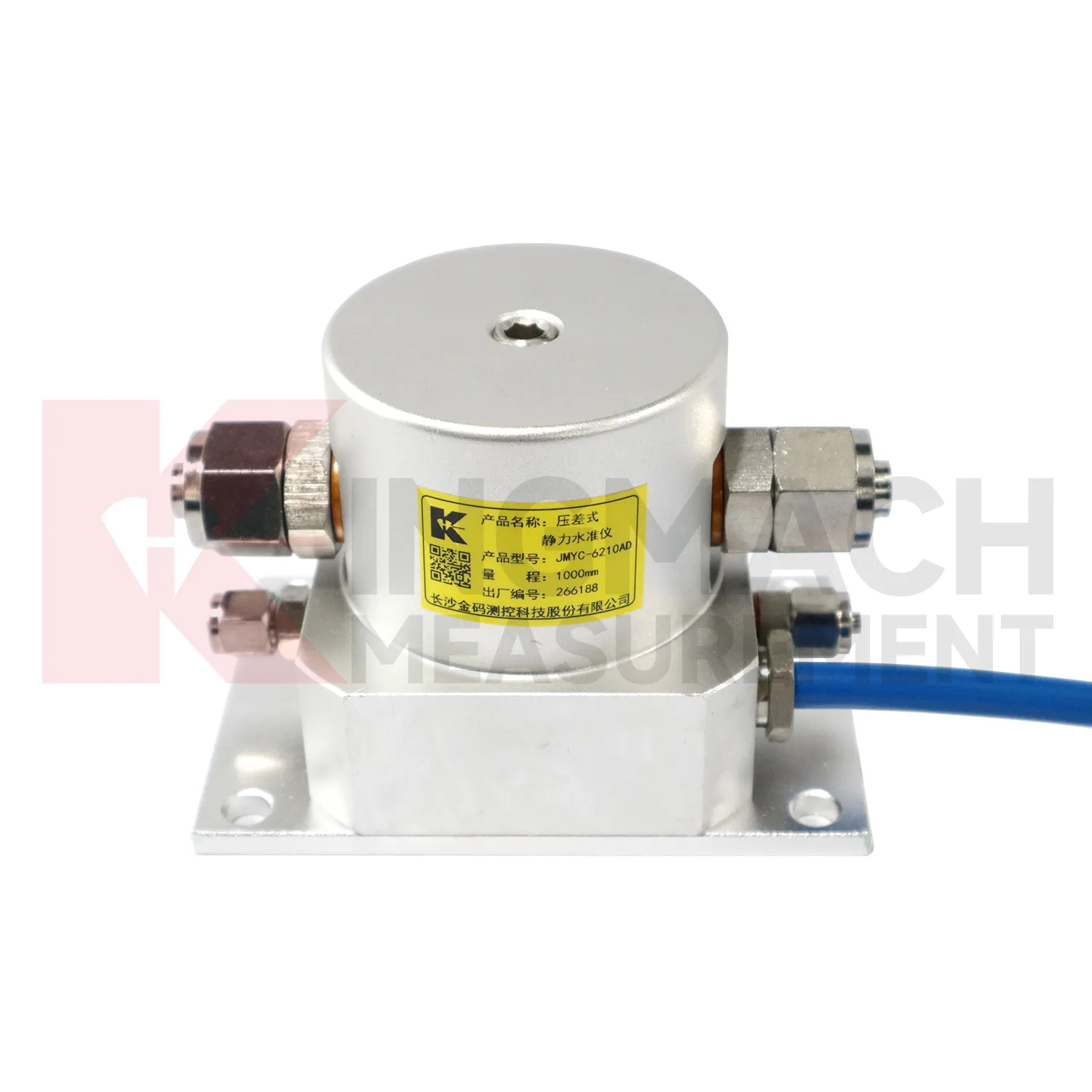
The future of water level gauge will give more attention to reference-point control. Hydrostatic leveling systems calculate vertical deformation by comparing measuring points against a reference, so the reference must be protected, inspected, and named clearly in the platform. Kingmach products such as JMDL-62XXADT, JMQJ-62XXADT, and JMYC-62XXAD already support multi-point settlement measurement through connected liquid paths and digital output. Future systems can record reference sensor status, water pipe condition, temperature, zero value, and maintenance events together with each settlement curve. This will help engineers avoid confusing reference drift with real subgrade, bridge, dam, or building movement. Better reference records will also make handover easier when a project moves from construction control to long-term operation. The practical goal is to keep settlement data understandable after the original installation crew has left, so owners can compare old and new readings without reconstructing the field history from memory. The same record should remain readable for designers, contractors, owners, and maintenance teams, because settlement monitoring often continues long after the first construction report is finished.
Care & Maintenance of water level gauge
Embedded water level gauge such as JMDL-47XXAT require protection during earthwork, paving, and later traffic. The settlement plate, measuring rod, metal flexible conduit, anchor head, extension rod, bottom anchor, and side-exit cable should be installed without being bent or crushed by compaction equipment. Record installation depth, gauge length, cable exit point, fill layer, protection cover, and first stable reading before the point is buried. During maintenance, inspect accessible cable sections, junction boxes, cabinet terminals, and any area where later excavation may have disturbed the line. If a curve changes after a filling stage or pavement operation, compare the timing with construction logs before judging the ground response. Buried parts are difficult to inspect after coverage, so photographs, as-built sketches, and cable route notes become part of the working instrument. Good embedded-point care is mostly quiet prevention done before damage becomes visible.
Kingmach water level gauge
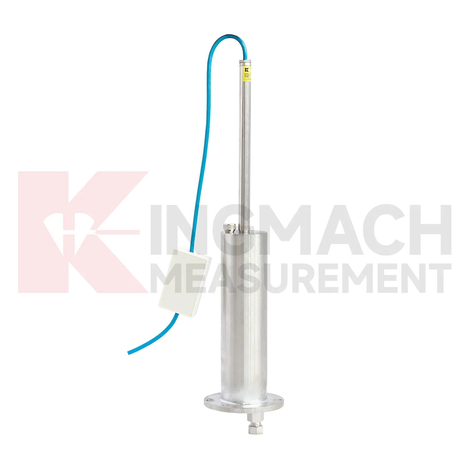
Layered ground behavior is another reason to use water level gauge. Kingmach JMCJ-1003/1005 magnetic ring settlement water level gauge measures underground layer settlement and groundwater level in foundations, subgrades, foundation pits, embankments, and other underground structures. Magnetic rings are installed in boreholes, and the probe emits audible and visual alerts when it senses a ring. Water level is detected through conductivity when the probe contacts water. The listed accuracy is plus or minus 1 mm, with 30 m, 50 m, and 100 m depth options. This method gives engineers a way to separate shallow settlement from deeper layer movement while also seeing water level variation. It is especially useful when soil behavior and groundwater are tied together. If the curve changes suddenly, field teams should check reference stability, cable or tube condition, recent work, and weather before treating the value as structural movement. If the curve changes suddenly, field teams should check reference stability, cable or tube condition, recent work, and weather before treating the value as structural movement.
FAQ
Q: What does JMDL-47XXAT measure?
A: It measures in-situ subgrade settlement, embankment heave, foundation pit base uplift, tunnel bottom uplift, dyke compression, and pile foundation settlement.
Q: What ranges are listed for JMDL-47XXAT?
A: The listed ranges are 100 mm, 200 mm, 300 mm, and 400 mm, with 0.01 mm resolution on the 100 and 200 mm models and 0.1 mm on larger models.
Q: How is the gauge installed?
A: It uses a settlement plate, electrical displacement sensor, measuring rod, metal flexible conduit, anchor head, extension rod, and bottom anchor head.
Q: Can traffic operation continue during monitoring?
A: The side-exit cable routing is designed to avoid interference with pavement compaction and can support monitoring during traffic operation when installed correctly.
Q: What should be recorded during installation?
A: Record plate position, anchor depth, extension length, cable route, baseline, model, range, and construction stage.
Reviews
James Thompson
The tiltmeters and accelerometers are very sensitive and provide precise data. Perfect for our structural health monitoring system.
Ryan Lewis
Fast delivery and excellent product quality. The accelerometers and tiltmeters are highly reliable. Strongly recommend this company.
Latest Inquiries
To protect the privacy of our buyers, only public service email domains like Gmail, Yahoo, and MSN will be displayed. Additionally, only a limited portion of the inquiry content will be shown.
Isabella***@gmail.comGermany
Hello, we are evaluating weir flow meters for a water management project. Please share accuracy deta...
Mia***@gmail.comNetherlands
Dear team, we are interested in your readouts & data loggers compatible with multiple sensors. Do yo...
Related product categories
- deep settlement gauge
- settlement gauge price
- settlement gauges
- Smart Single-Point Settlement Gauge
- hydrostatic level sensor
- hydrostatic level sensor price
- hydrostatic liquid level sensor
- hydrostatic pressure level sensor
- hydrostatic pressure sensor level measurement
- hydrostatic level sensor principle
- hydrostatic level sensors
- hydrostatic pressure level sensors